
Mooresville Neighbor Sources by Block
A block question has several public layers. County tax and GIS records can show a parcel, its public owner field, identifiers, and adjacent boundaries. Recorded land can show parties to a transfer. The Town's parcel and limits services provide municipal map context. Association pages can disclose governing documents, public notices, or management contacts. None of these sources is an official roll of everyone who lives around an address.
| Source | What it shows about a block | Access |
|---|---|---|
| Iredell property search | Parcel number, address, owner field, values, deed and plat references | Public county portal |
| Iredell MapGeo | Adjacent parcels, street centerlines, limits, zoning, floodplain, and other layers | Public map viewer |
| Town parcel and limits services | Mooresville parcel service and town limits with annexations since 2001 | Public REST services |
| Register of Deeds | Named parties and references in recorded instruments | County land-record route |
| Association public pages | Documents, forms, notices, boards, or public contacts | Individual association sites |
Each source has a different purpose. The map is the best place to orient a block, while the recorded deed is the better authority for a legal land question.
Mooresville Neighbors Start With a Parcel Flow
Use a repeatable sequence before drawing conclusions about a block. The county describes a PIN as the geographic key linking parcel, acreage, owner, value, zoning, E911, and planning functions. It is more dependable than a street string that may have a historical name, an alternate postal form, or a varying suffix. The PIN does not itself prove title, occupancy, or a property boundary.
- Enter the starting street address in the assessor or MapGeo view.
- Record the PIN, address, municipality, tax year, and displayed layer date.
- Turn on parcel and street layers, then identify immediately adjacent parcels.
- Use the public owner field or deed reference only for the corresponding parcel.
- Check the Town limits layer and recorded plat when the geography affects the question.
That flow produces a map-based block context. It should not be used to infer who occupies a home, a protected address, or membership in a private community group.
Mooresville GIS Layers Put Parcels in Context
Iredell County's GIS Mapping service links to MapGeo, map galleries, ArcGIS open data, help, and contacts. Documented layers include tax, floodplain, zoning, fire, topography, elections, streets and addresses, parcels, and municipal boundaries. MapGeo can be used to identify a parcel and capture the attributes shown in the current display. The county says its data is compiled from deeds, plats, and other public records and should be verified with the responsible office.
The county GIS page describes the mapping products, layers, and public-record disclaimer.
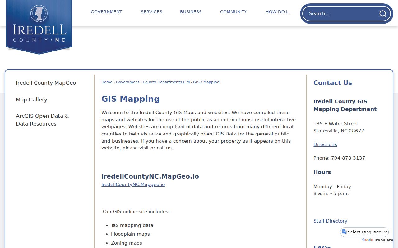
The viewer can help compare adjacent parcels and map layers. Its location display is not a survey, legal description, or proof of a property line.
- Adjacent parcel
- A parcel sharing a boundary or shown next to another parcel on a map layer.
- PIN
- The county identifier used to join a parcel across assessor, GIS, addressing, and related systems.
- Plat
- A recorded map or plan of land; use the recorded source for a legal boundary question.
- Municipal limit
- The boundary of the Town, which is distinct from ZIP, precinct, and informal neighborhood geography.
Mooresville Limits and Annexations Change the Map
The Town's TownLimits MapServer provides limits and annexations since 2001. It is the current machine-readable reference for a modern boundary check. It does not replace historical documents for an earlier date. A 1991 historical scan describes annexation-petition practice, while the 1994 street-change material records road-name work connected to county 911 addressing. Both show why a present map cannot simply be projected backward onto a historical record.
The Town limits and annexation service exposes the modern layer and its metadata.
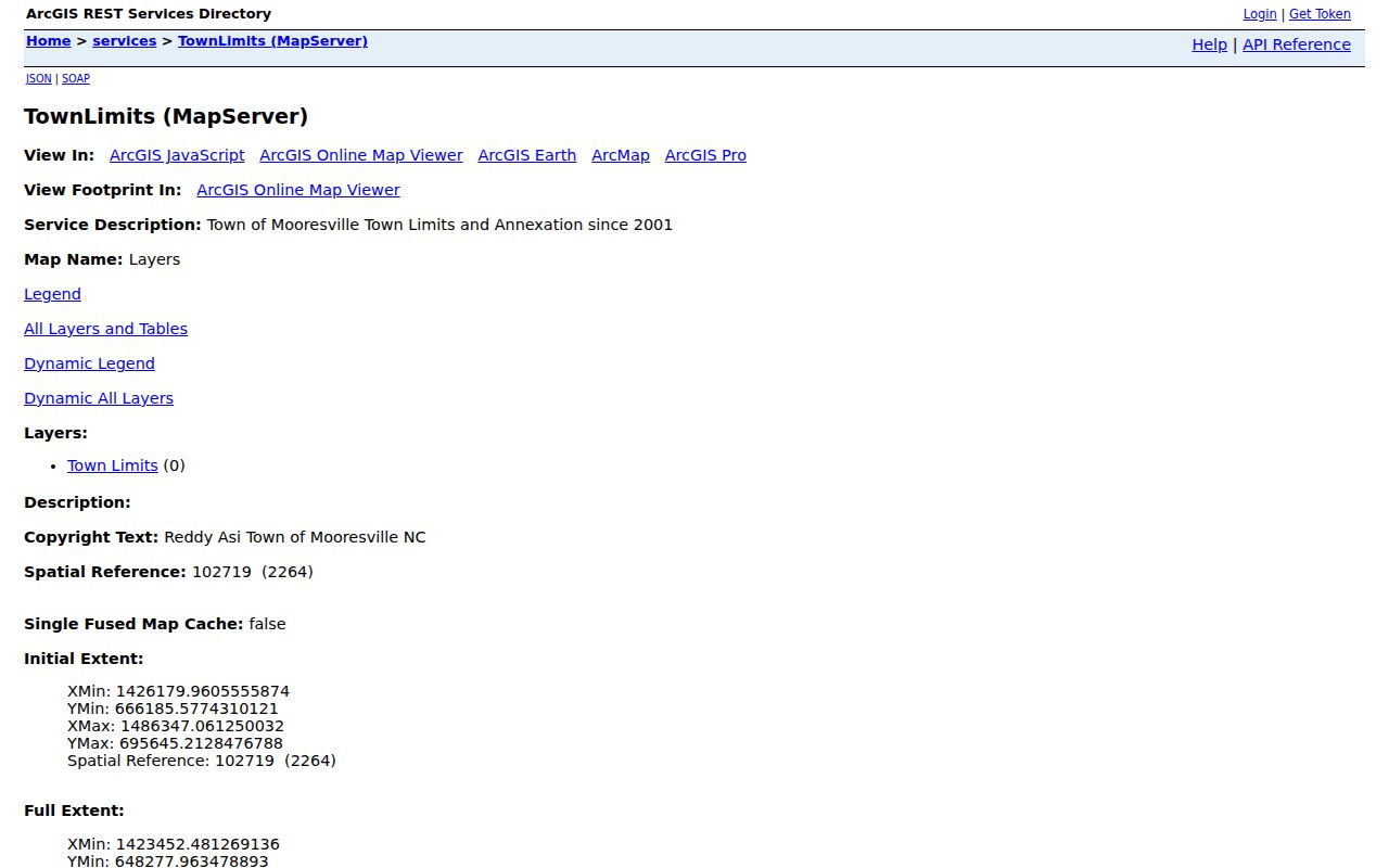
Use the service to test a current boundary, then consult recorded plats, deeds, and dated local sources when the question concerns another period.
The Town parcel service has a 1,000-record service limit per query. That technical limit is another reason to work from a particular address and PIN rather than treating a citywide map layer as a bulk neighbor list. County GIS also describes a delinquent-tax overlay as monthly updated and not an official tax-lien notice. Layer names, update dates, and disclaimers belong with the search notes when a block comparison will be revisited.
Mooresville Community Pages Are Not Rosters
No official Town-maintained master directory of neighborhood associations or HOAs was located. Public association pages can still provide valuable community context. The research identified Woodleaf, Winslow Bay, Linwood Farms, Reid's Cove, Stillwater, and the Mooresville/Lake Norman Exchange Club as examples of established public pages. They are not government records and do not establish that a particular person belongs to or lives in a community.
| Woodleaf HOA | Board and architectural-review contact, dues and violations material, and association documents. |
|---|---|
| Winslow Bay | Lake Norman community information, amenities, documents, and member material. |
| Linwood Farms | Newsletter, board, documents, and east-downtown community context. |
| Reid's Cove | Governing documents, financial information, forms, events, and resident support. |
| Stillwater | Public community information, CCRs, forms, dues, management contact. |
Woodleaf's public association page is one example of the type of documents and contact information an association chooses to publish.
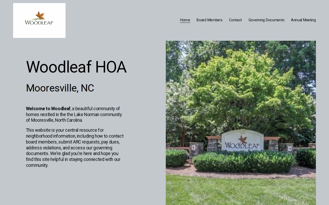
Use an association page for its posted public materials. Do not copy a member directory, infer membership from a parcel polygon, or turn community documents into a contact list.
The contrast between an association page and an official parcel record is useful. An association may discuss dues, architectural review, events, or management. The county tax and map systems describe public land attributes. Neither source answers who occupies every home on the block. If an association boundary matters, look for its recorded plat or governing documents instead of relying on a marketing map or a label used in a listing.
Mooresville Neighborhood Labels Mean Different Things
A subdivision, HOA, ZIP, census area, fire district, town ward, and local neighborhood name are different geographies. A subdivision may appear on a recorded plat. An association may manage only part of it. A marketing label may not match the legal name. A ZIP can cross Town limits. State which layer is being used before comparing a parcel to a community name.
When a subdivision name appears in MapGeo or tax records, look for a recorded plat or the association's governing documents. If the needed boundary is not public, do not guess from listings or social pages. The county's GIS disclaimer and the absence of a complete current neighborhood-boundary list both support leaving that part of the question open.
Mooresville's local history also makes the layer distinction important. Railroad growth, mill villages, Lake Norman development, annexation, and changing street patterns have altered the way an area is described across decades. A name in a historical directory or newspaper may be useful to find a dated map or plat, but it should not be used to assign a current neighborhood to a past household without a parcel-level check.
Mooresville Neighbor History Needs Dates
Community context changes over time. The library's 1993 Newcomer's Guide lists civic clubs and period meeting information, while current public groups such as the Mooresville/Lake Norman Exchange Club show a present civic layer. Historical newspapers, yearbooks, church records, and archives can document community participation or a place at a particular time. They are not a current social graph.
For an older block question, pair a dated city directory, recorded transfer, Sanborn map, and newspaper index instead of relying on one item. The Mooresville previous residents route focuses on that backward address trail. For a whole named street, the street directory uses the broader address-record chain.
Note: A historic group notice or directory entry has value only for its stated date and should never be treated as a current neighbor connection.
Mooresville Neighbor Searches Have Privacy Limits
Public mapping and land records are for lawful personal research, civic context, and property questions. They are not a method for locating a protected person or assembling a dossier about a block. Voter records have statutory withheld fields. Vital records require eligibility. The North Carolina Address Confidentiality Program provides substitute addresses for eligible survivors of domestic violence, sexual assault, stalking, and human trafficking. Do not reverse-geocode, republish, or infer an actual protected location.
A missing, redacted, or conflicting result should remain a gap. North Carolina stalking and cyberstalking statutes set a serious boundary against harmful monitoring or contact. Use only the information needed for a lawful question, verify a public fact with the named custodian, and leave private membership or occupant information outside the research.
For an association question, a public document page or a Town request for an identified existing record is the appropriate route. Do not ask an office to create a roster or try to assemble one from parcel maps. For a safety concern, use official law-enforcement or victim-service channels rather than a records search. The useful outcome is an accurate map and a clear source trail, not more personal detail than the question requires.