
Find Mooresville Street Records
An address is a location, not a person record. Begin with the most complete current address available, including the house number, directional word, street type, and unit when relevant. Iredell County keeps the property search, GIS layers, addressing data, and land-record trail in separate systems. Following them in a fixed order reduces false matches when a road was renamed, a parcel changed hands, or an old directory used a shorter street form. A street-directory search can identify public property and map records, but it cannot turn a street into a complete list of current occupants.
- Run the address in the Iredell assessor search and capture the parcel number, account number, tax year, and owner field shown on the property card.
- Carry the parcel identification number, or PIN, into County MapGeo. Check the street centerline, adjacent parcels, municipal limits, and the date of any layer used.
- Use the owner or prior-owner name from the parcel record to search the Iredell Register of Deeds index. The deed index is party based, not an address search.
- If a name needs limited civic confirmation, use the North Carolina voter lookup with the first and last name required by its form. Treat a result as a dated registration record, not proof of a person's present location.
- For an older address trail, compare the street spelling with dated listings in the Mooresville city directory collections, then preserve the year beside every finding.
The result is a record trail, not a verdict about a person. Compare dates and source types before connecting a parcel, deed party, historic listing, or registration result to the same address.
Mooresville Street Directory Sources
Each address-keyed record has a narrow job. The tax system and MapGeo can locate a parcel. A deed image can document a recorded transfer. Permit files describe work or a project at a site. Election records have a statutory public field set and are not a street roster. Keeping the source date beside the address is essential because a street, postal label, or town boundary may not match an older entry.
| Address record | Mooresville-area keeper | What it can show | Access limit |
|---|---|---|---|
| Property and tax card | Iredell County Land Records & Mapping | Parcel, owner field, address, values, deed and plat references | Public search; not certified |
| Parcel and GIS layers | Iredell County MapGeo | PIN, map setting, street, limits, zoning, floodplain, and election layers | Public viewer; not a survey |
| Recorded land instruments | Iredell Register of Deeds | Party names, instrument date, book/page, legal description, and plat references | December 1788 to present; party-name index |
| Permit or inspection search | Iredell Development Services | Case number, inspection type, and site-address results | Coverage and live options vary |
| Voter registration file | North Carolina State Board of Elections | Statute-controlled public registration fields and voting history | Protected fields and confidentiality rules apply |
The PIN is the strongest bridge in this group. An address can be restyled, renumbered, or tied to a postal area outside the Town. The parcel number links the assessor card to the map and often supplies deed or plat references for the next search. The recorded deed remains the better source for a legal description, while the map provides practical location context. That distinction keeps a street directory from overstating what any one screen proves.
Search Mooresville Street Parcels
The Iredell public property system has Basic Search, Real Estate Search, Tax Bill Search, Sales Search, Help, and a property-record-card path. House number, unit, direction, street name, type, suffix, and municipality are address controls. Owner, account, parcel components, and tax year offer useful alternatives when the street string fails. Advanced Search adds legal land-size, land-type, and zoning controls. The assessor warns that its data is informational, not a certified legal document, and carries no warranty.
| Assessor field | Control | Requirement | Use in a street search |
|---|---|---|---|
| Owner Last Name / First Name | Text | Optional | Search the owner field when an address is incomplete. |
| Account # | Text | Optional | County account identifier. |
| Parcel # MAP / BLK / PIN | Text | Optional | Parcel components; use the full PIN when known. |
| Parcel # CONDO / CC / LH | Text | Optional | Additional parcel-number components. |
| Tax Year | Dropdown | Optional | Current and historical choices are generated by the system. |
| House # / Unit # | Text | Optional | Situs house and unit address controls. |
| Direction / Street Name | Text or select | Optional | Use the directional form accepted by the site. |
| Type / Suffix | Text or select | Optional | Match the street type and suffix rather than guessing. |
| Municipality | Text or select | Optional | Dropdown choices were not fully exposed in research. |
| Advanced Search | Button or tab | Optional | Opens legal land size, land type, and zoning filters. |
| Image / property record card | Link or control | Not applicable | Opens the available parcel-card path. |
On a returned card, note the parcel number, tax year, account number, owner information, address, township, deed date, book/page, plat book/page, legal description, zoning, values, and sales information. Values and sales are tax-system data, not a complete title history. Follow the deed reference before drawing a conclusion about ownership.
Note: The portal's exact tax-year coverage and complete dynamic dropdown values were not exposed in the official research.
Define Mooresville Street Record Terms
Records screens use terms that sound alike but serve different purposes. Reading each label carefully prevents a mailing label, map point, or historic directory entry from being mistaken for a legal land description.
- Parcel
- A taxable tract or property unit identified by a county parcel number or PIN.
- Situs address
- The physical location used for the property, such as the house number and street, rather than a mailing address.
- Plat
- A recorded map of a subdivision or parcel that can be referenced by plat book and page.
- Criss-cross directory
- A reverse-style directory arranged by address or street, useful only as a dated historical listing.
A recorded plat or survey is the right evidence for a boundary question. County GIS is compiled from deeds, plats, and other public records, but Iredell says it is not proof of a property line.
MapGeo and Mooresville Street Layers
MapGeo gives the street directory its geographic check. Iredell documents layers for tax parcels, floodplain, zoning, fire, topography, election geography, streets and addresses, city limits, county boundaries, and open-data downloads. Search an address or PIN, identify the parcel, then record the map source date before using a layer as context. The Town parcel and TownLimits services add a Mooresville view, with the limits layer covering annexations since 2001. Neither a map-service response nor a visible line is a title opinion or survey.
Iredell County's MapGeo parcel viewer is the source for this Mooresville parcel-view image.
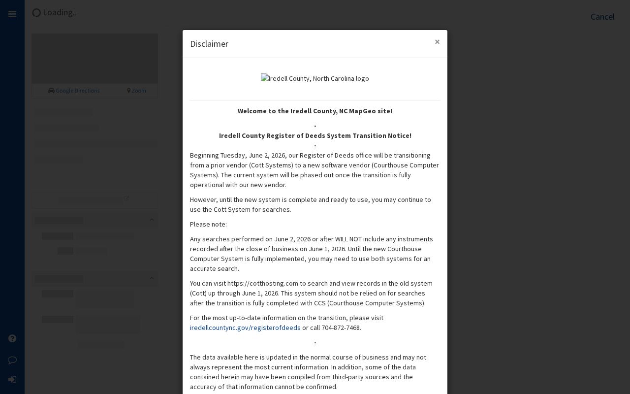
The viewer helps place one street address among surrounding parcel boundaries and county layers, but it should be checked against the recorded deed or survey for legal questions.
For a current town-boundary question, use the Mooresville TownLimits service as the modern machine-readable reference. A property can have county-held material even when it lies within town limits, and an older file can reflect a different annexation status.
Mooresville PINs Join Street Records
The practical Mooresville insider tip is to carry the assessor PIN, not just the street wording, through the search. Land Records & Mapping describes the PIN as a geographic parcel locator that supports acreage, owner, value, zoning, E911, and planning work. It is a solid join key for the assessor card, MapGeo, addressing, a plat reference, and deed research. It is not a title document. That difference matters when a street is spelled differently in a historical source or a house number is changed.
Use the PIN to keep search notes tied to one parcel. Then retain the exact deed book/page, instrument number, tax year, and layer date supplied by each system. A street-directory workflow is more reliable when it preserves these identifiers instead of combining loosely similar street names.
Trace Mooresville Street Deeds
Iredell County reports online land-record coverage from December 1788 to the present for deeds, deeds of trust, plats, powers of attorney, and related instruments. The important limitation is that the index is organized by grantor and grantee, not by street address. Once the parcel card supplies an owner or prior owner, search legal-name variants, middle initials, married names, corporate names, and a date range where available. A result row is only a lead. Open the linked image and compare the parties, recording date, instrument type, legal description, PIN if shown, and references to prior or later instruments.
The County's MapGeo dataset notice documents a Register of Deeds transition from Cott Systems to Courthouse Computer Systems beginning June 2, 2026. Searches after June 1 can be absent from the old system while the new one is prepared. Verify the active route through the County's land-records page and search both systems when the County directs it. This is a current access issue, not evidence that a record does not exist.
Note: A deed identifies a recorded transaction trail, while the assessor card and map supply tax and location context.
Mooresville Street Permit Searches
Iredell Development Services Citizen Self-Service supports permits, inspection status, worksheets, zoning and environmental applications, plans, and fees. Its official user guide documents a public-record search by Case Number, Inspection Type, or Address. Normalize a street suffix before searching, then treat the result as a property or project record. It may identify applicants, contractors, owners, inspectors, or agents, but it does not establish a current household. Exact coverage dates and a full live list of inspection types were not located in the official material.
Some applications and requests require an account, registration, details, or uploads. For an older site file, the in-person Development Services route is listed at 349 N Center Street in Statesville. Compare county GIS and town limits because the same property can have older material in a different county or town record system.
Mooresville E911 Street Rules
Iredell Addressing/E911 assigns road names, uniform signs, and countywide 911 addresses to avoid duplicate road names. The county says odd and even numbers belong on different sides of a road. A Court commonly marks a dead end, while a Loop returns to the road. Most importantly, the address is based on the driveway access point, not necessarily the house or other structure. A posted number should be within three feet of the front entrance and visible from the road. A mailbox may have a number, but it is not the required posting location.
These rules explain why a field observation can conflict with a map label. For a single-address application, the county requests a PIN, acreage, owner and neighbor information, plus a site plan showing the driveway and structure. The PIN or survey, not the street address, remains the legal-description reference.
Mooresville Street Postal Checks
Use USPS address tools to normalize an address, not to identify a person. USPS provides address, city-and-state, and cities-by-ZIP lookup modes, and warns that a ZIP result does not verify a person or company. The official research confirms 28115 as a standard Mooresville delivery ZIP and 28117 as a Mooresville and Lake Norman-area delivery ZIP. It did not confirm 28123 as a standard delivery ZIP. A Mooresville mailing address can extend beyond the incorporated Town, so compare the postal result with municipality and TownLimits layers.
Note: ZIP boundaries are delivery geography, not proof of a town limit, parcel owner, voter precinct, or current street location.
Match Mooresville Street Names
Street labels change. A 1994 Mooresville Tribune scan records county work on 911 street names and numbers, including the change from Red Oaks to Whispering Oaks Court. It also records discussion of Templeton Avenue, College Street, and Freeman Drive changes. When an older directory, deed, or newspaper uses a street form that does not search cleanly, preserve that historic form, search the current E911 and GIS label, and compare the parcel or legal description. Do not force a match based only on a similar-looking road name.
Mooresville's 1991 annexation-petition material and the TownLimits layer add another date check. The TownLimits service identifies annexations since 2001, while an older address may need its own historical boundary source. A historic street listing is useful context, not proof of today's location.
Mooresville Street Voter Limits
The North Carolina voter lookup is a name-based form, not an address browser. First and last name are required; middle initial, birth year, and county are optional, and the status area includes Registered and Removed or Denied choices. A returned result can include registration jurisdiction, polling place, sample-ballot information when available, absentee information, and voter history. North Carolina General Statute 163-82.10 permits specified public voter-file fields, while protecting Social Security data, date of birth, email, driver-license information, voter photo-ID material, and protected addresses.
Iredell County's voter registration information is the source for this Mooresville elections image.
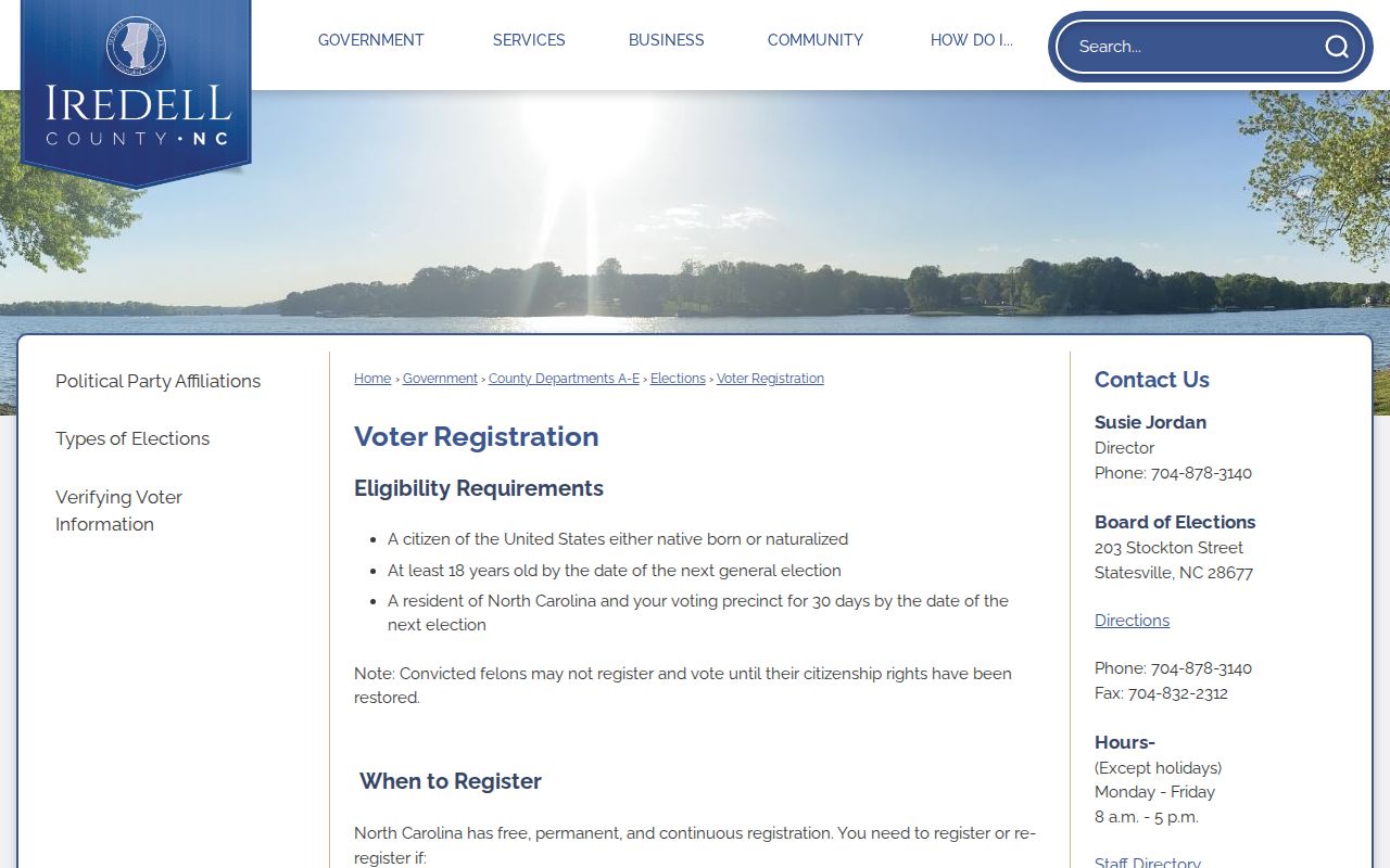
Election information can corroborate a time-specific registration record after a lawful name search, but maintenance cycles, moves, and confidentiality protections prevent it from serving as a current street roster.
Limits of Street Directory Results
No public Mooresville street directory supplies a complete, current association between every address and every person. The research did not locate a downloadable countywide address-to-resident list. Assessor and GIS fields can be public, but a map is not a survey. Deeds record filings, not a live occupancy list. Voter material has statutory limits, and Address Confidentiality Program participants use a substitute address while their actual address is kept confidential. DMV records are restricted by the Driver Privacy Protection Act and are not a free address search.
Lawful use. Use Mooresville address records for personal, lawful research such as property history or reconnecting with a known contact. Do not reverse-engineer protected locations, compile a roster, stalk, harass, or intimidate anyone.
North Carolina's Public Records Act covers existing records, subject to statutory exceptions. A focused request can name the department, existing record type, date range, address or PIN, and preferred format. The Town of Mooresville routes requests through NextRequest and may accept verbal or email requests through staff. Ask for an existing record series rather than a newly created resident list, and expect protected, medical, financial, security, or other confidential material to remain unavailable.