
Mooresville ZIP Codes and Delivery Areas
Official postal material supports two standard delivery ZIP codes for the Mooresville area: 28115 and 28117. USPS location pages identify the main Mooresville office at 123 Institute Street for 28115 and the North Lake office at 172 Williamson Road for 28117. Both are postal service points, not a statement that every address carrying the city name lies inside Town limits. Verify an individual address with the Postal Service before using a ZIP in a records search.
| ZIP | Areas covered | Post office | Postal note |
|---|---|---|---|
| 28115 | Standard Mooresville delivery geography | Mooresville main office | Use address validation for a particular delivery point. |
| 28117 | Mooresville and Lake Norman-area delivery geography | North Lake office | Postal material also has Davidson-related routing context. |
| 28123 | Not verified in the official capture | Not established | Some outside sources call it a post-office-box geography; run a live USPS check first. |
The ZIP code directory therefore treats 28123 as a research gap, not as a confirmed standard-delivery claim. Postal services change, and an exact current result is more useful than an unverified list.
The main and North Lake location pages are the better source for a current counter address or service-hour check because their hours can change. Mount Mourne is another USPS location in the wider Mooresville mailing area, at 1519 Mecklenburg Highway, with a 28115 postal designation. A post-office location helps identify service geography, but it does not convert every nearby street into an incorporated-town address.
Postal Bulletins published in 2025 list 28115 and 28117 in Mooresville postal containers and show why a postal city can span more than one civic geography. Census ZCTA files are another useful reference when the task is statistical, but they are not exact postal delivery routes. Keep the source type clear: USPS validates delivery information, Census ZCTAs support statistical geography, and Town or county layers address municipal and parcel context.
Mooresville ZIP Lookup Uses USPS Address Fields
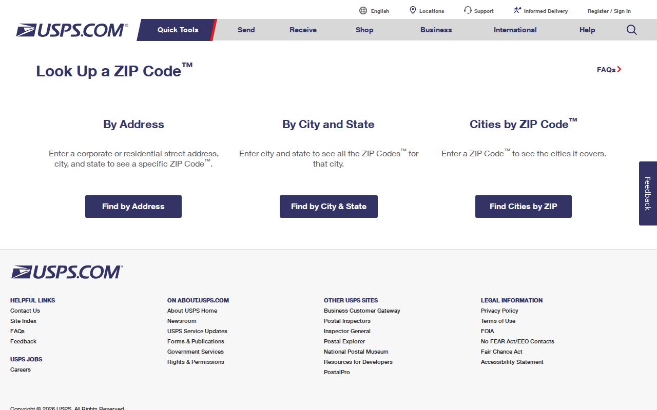
USPS ZIP Code Lookup has three modes: address, city and state, and cities by ZIP. Address mode accepts an optional company and unit, then requires street address, city, and state; ZIP can be added when it is already known. City and state mode requires those two entries. Cities-by-ZIP begins with the ZIP. A complete street address is the best way to separate multiple delivery results.
| Street Address | Required for address mode and the most specific postal key. |
|---|---|
| Apt/Suite/Other | Optional detail that can distinguish an address. |
| City and State | Required in address mode; city and state mode uses both. |
| ZIP | Optional in address mode and required for cities-by-ZIP mode. |
| Find | Returns a postal result, not a person or company verification. |
The USPS lookup page presents the available search modes and its address-verification warning.
A returned ZIP validates delivery geography. It does not tell who lives at an address and does not prove a parcel, town, or neighborhood boundary.
USPS also points to its AIS Viewer for current address-quality work. That service is updated monthly and checks the form of an address, not a list of people. Postal office hours and individual delivery details can change, so use the linked USPS location or lookup result before relying on a current service detail.
Mooresville ZIP Codes Lead to Parcels, Not People
Iredell's assessor search does not expose a ZIP field in its documented order. The workable sequence is postal verification, address normalization, county assessor or MapGeo address search, then PIN and deed-reference review. That sequence is narrower than a ZIP-wide people search and avoids treating a postal code as a resident list. An address and PIN are the practical join keys across the systems.
- Verify the full mailing address with USPS.
- Enter the normalized house number and street in Iredell's property search or MapGeo.
- Capture the parcel PIN, account number, tax year, and municipality shown by the county.
- Use the PIN and owner field to check mapped parcel context.
- Use party names and date range in the Register of Deeds when the question turns to recorded land.
For a named street after this first pass, the Mooresville street directory follows the address-keyed record trail in greater detail.
Mooresville Parcel Records Carry the ZIP Search Forward
The official property-card layout can show parcel number, tax year, account number, owner information, address, township, deed date, book and page, plat references, legal description, zoning, values, and sales information. These fields are county tax-system data. They should not be read as a complete title history or a certified legal description. The recorded deed and a survey remain the appropriate follow-up where accuracy matters.
Iredell's public property-card layout shows how parcel information is organized after an address search.
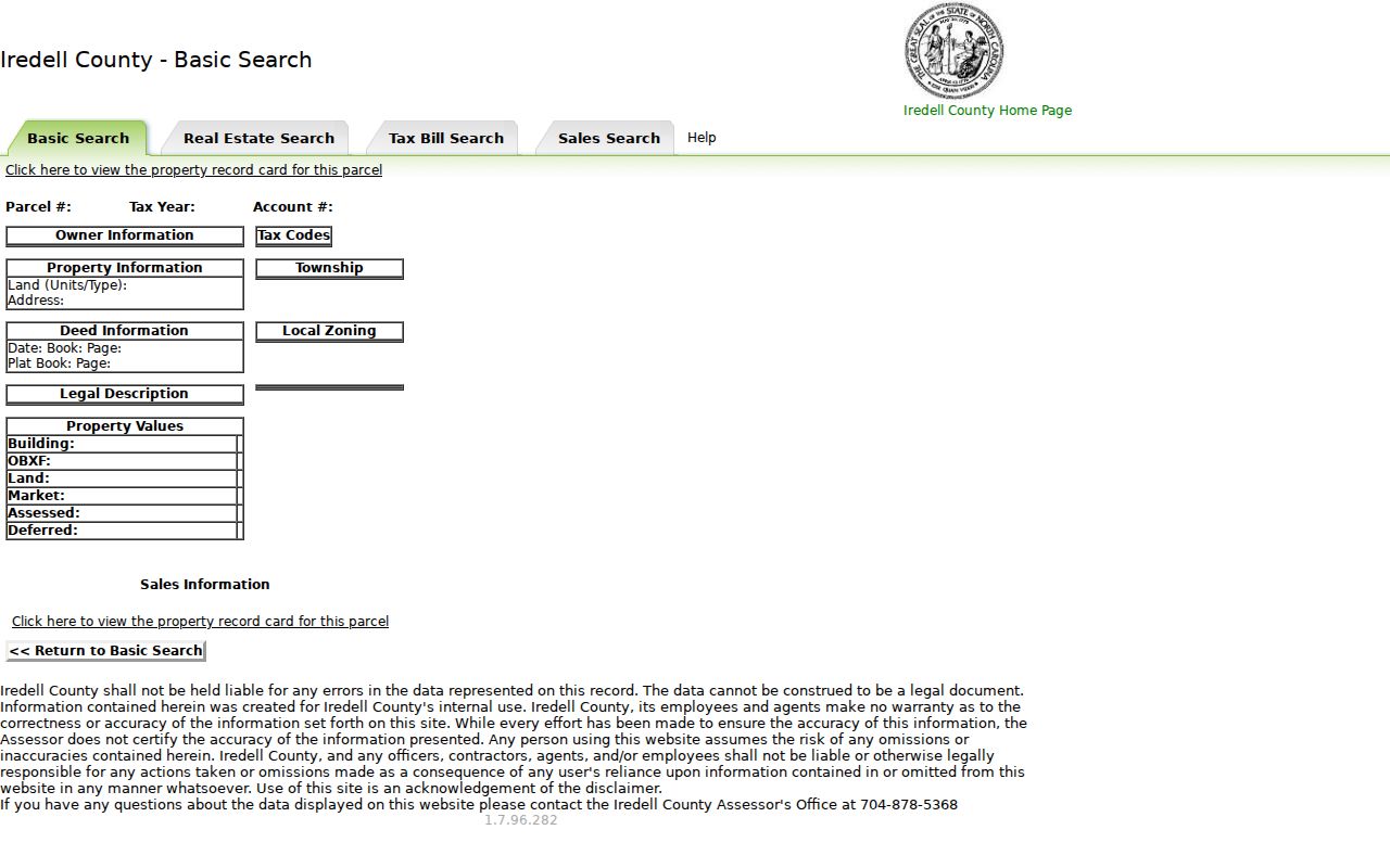
The record card provides a useful handoff from postal address to parcel identifiers, deed references, and map context without converting a ZIP into a resident roster.
Where the property card and map show a different street form from USPS, retain both before searching the deed index. The county's Addressing unit explains that the physical address follows the driveway access point and standardized road-name conventions, while a recorded instrument uses the legal description. That distinction is especially helpful for a unit number, a renamed road, or a property with a mailing address that differs from the assessed situs address.
- ZIP+4
- An added postal delivery segment used with a base ZIP; it is not a town or property boundary.
- Carrier route
- A postal delivery grouping, not a map of who lives in an area.
- PO Box ZIP
- A postal assignment that can differ from standard street-delivery geography.
- PIN
- The county parcel identifier used to connect tax, mapping, addressing, and deed work.
Mooresville Town Limits Do Not Match ZIP Lines
A mailing address reading “Mooresville, NC” may serve an area outside the incorporated Town. Likewise, an address in town can have a delivery label that readers assume belongs elsewhere. The TownLimits service shows town limits and annexations since 2001, while county mapping has municipality layers. A postal code is delivery geography. It is not a boundary, precinct, neighborhood, survey, or proof of municipal residence.
The Town parcel MapServer is a machine-readable town parcel layer used for geographic checking.
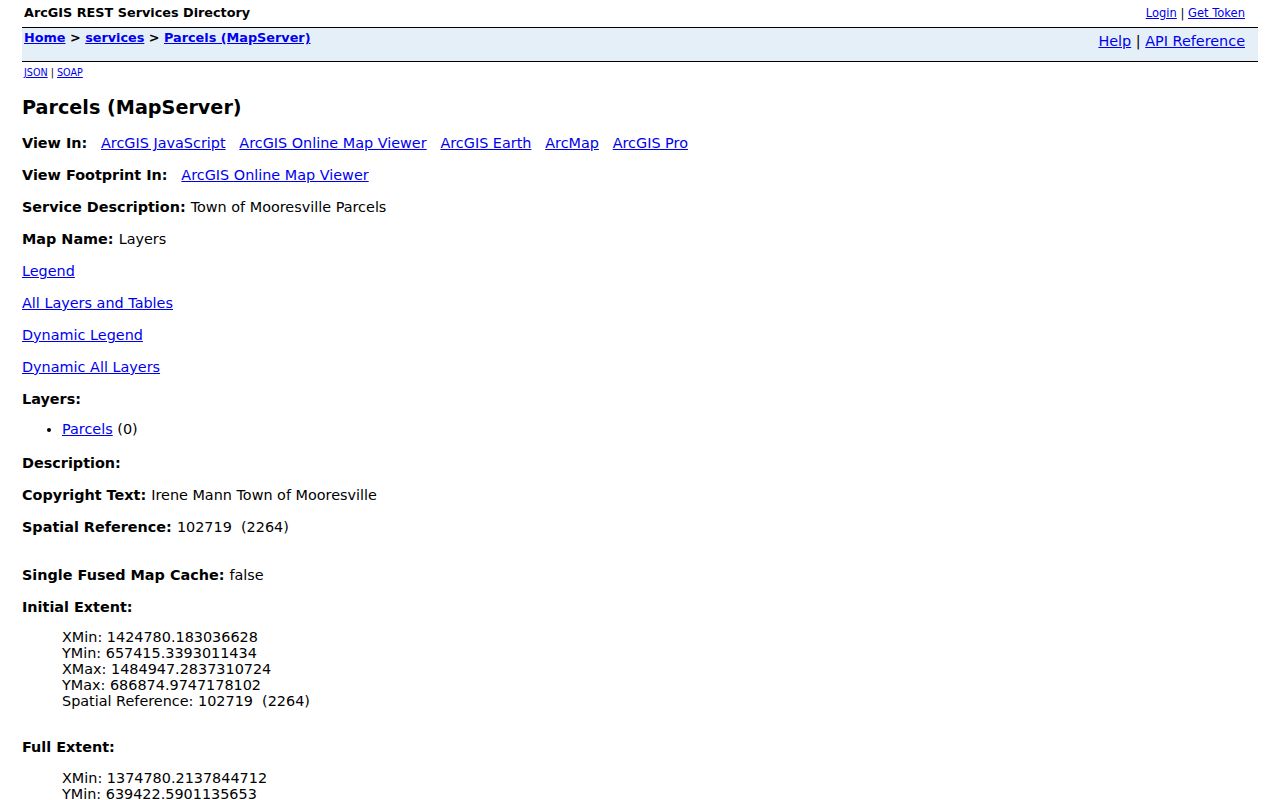
The Town service is useful for a reproducible layer reference. Its 1,000-record service limit and public data status mean it is not a survey or title opinion.
Mooresville ZIP Labels Change Across Old Records
Annexations, road-name changes, and postal routing can make a historical directory address look different from a current map result. The TownLimits layer covers annexations since 2001. A 1994 Mooresville Tribune scan records road-name changes, including Red Oaks becoming Whispering Oaks Court. An old printed directory can preserve a valid historical street name even when the current E911 or postal address is different.
Keep the historical spelling and year in a research note, then use current USPS and county mapping to test the modern address. The change may reflect a renamed road, a postal convention, or a different parcel. It does not by itself establish that a historical occupant and a current record refer to the same person.
Note: Record both the date of the directory and the date of the map or postal search when reconciling an older Mooresville address.
Mooresville ZIP Maps Are Orientation Tools
Iredell map galleries include ZIP maps, and the county GIS system also offers tax parcels, floodplain, zoning, election geography, streets, addresses, city limits, and open-data resources. These layers are compiled from deeds, plats, and public records. The county directs users to verify information with the responsible office. A ZIP polygon should guide orientation, not decide a legal boundary or identify every address within a delivery area.
For a town-limit question, use the TownLimits service and county municipality information. For the parcel itself, use the assessor, GIS, recorded plat, and deed in the order the question requires. The county notes that its GIS grid and public layers support mapping work, but a displayed line does not settle a property-line question.
Mooresville ZIP Directory Limits Protect Residents
A ZIP result cannot verify a person or company. It also cannot establish who owns a property, who is registered to vote there, or whether a person currently lives at an address. Voter information has statutory restrictions, vital-record copies are eligibility based, and Address Confidentiality Program participants use protected substitute addresses. A missing match is not an invitation to infer a protected location from another system.
Use the smallest public record needed for a lawful personal question. Do not turn postal, map, or property data into a contact list. North Carolina's stalking and cyberstalking laws prohibit harmful conduct, and official privacy limits should be respected when a record is incomplete or redacted.
North Carolina's Public Records Act does not require an agency to create a ZIP-based directory from disparate records. When a responsive town file may exist, ask for the record type, date range, department, and preferred format. The Town can review existing records, redact protected material, and charge actual costs as described in its policy. A carefully scoped request is more accurate than trying to combine unrelated address records into a list.